
Capturing places in the shape of a map. A visual guide spotlighting the essential, and showcasing the fun, providing an overview, and revealing how not to get too lost.

A map of the landscape of an illustrators world, complete with icons and post-it notes.
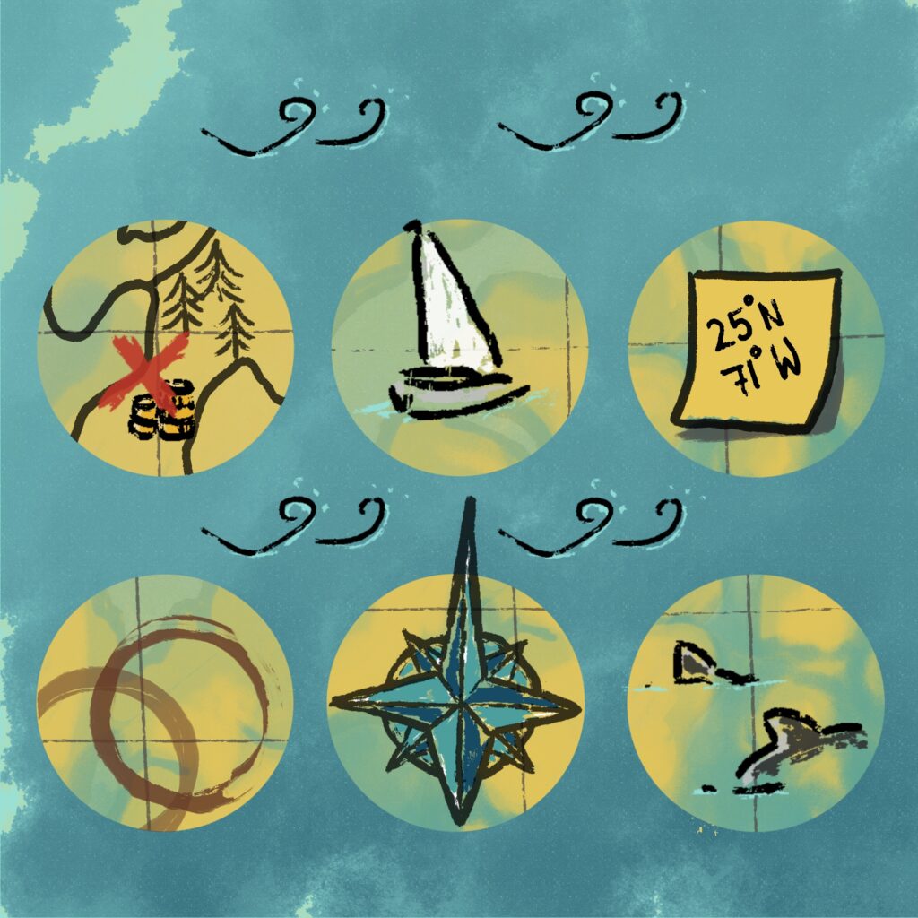

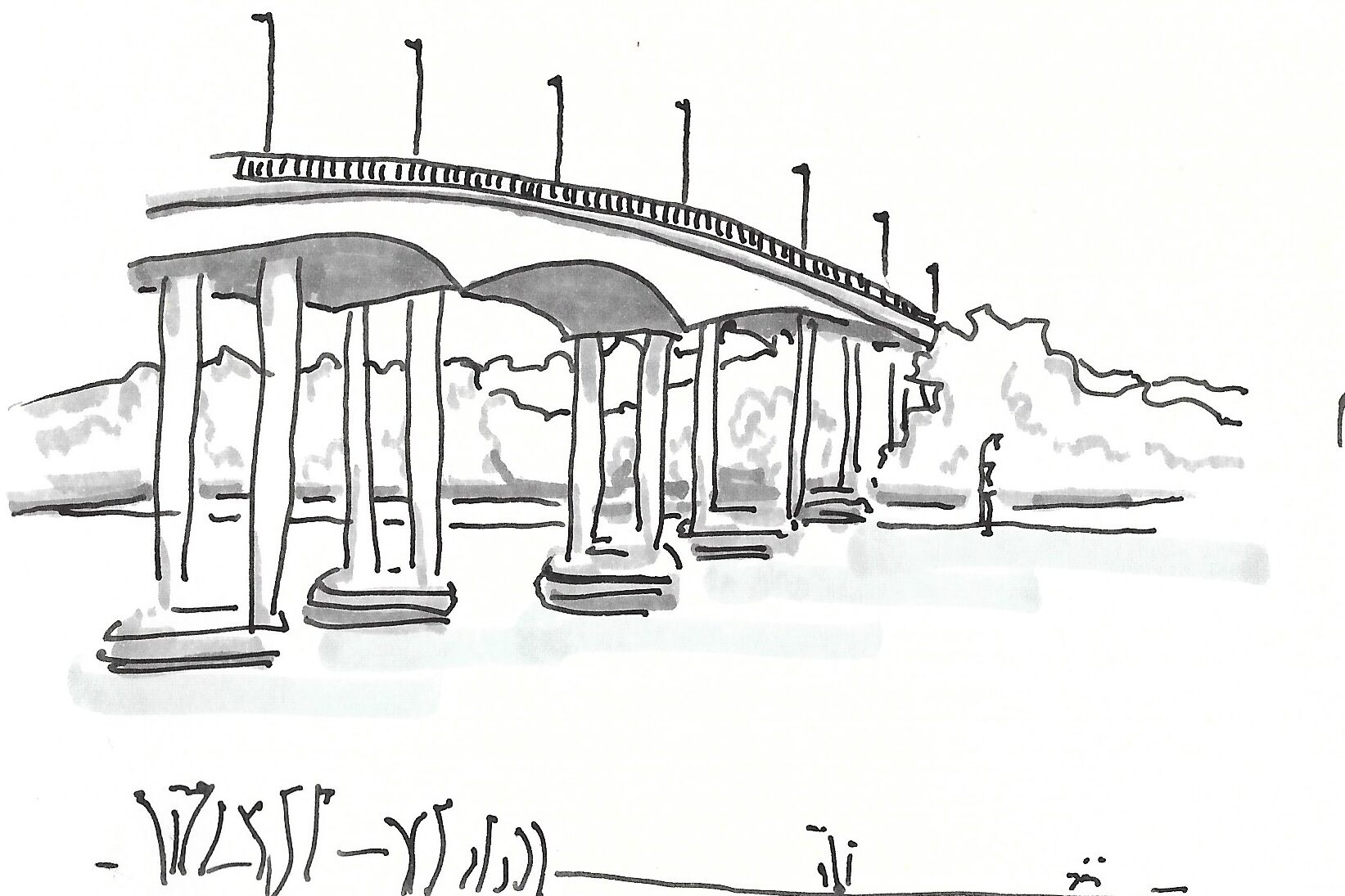
Concept: A local map. Could easily be made zooming in on some details like a bridge and city centre charm sketches.
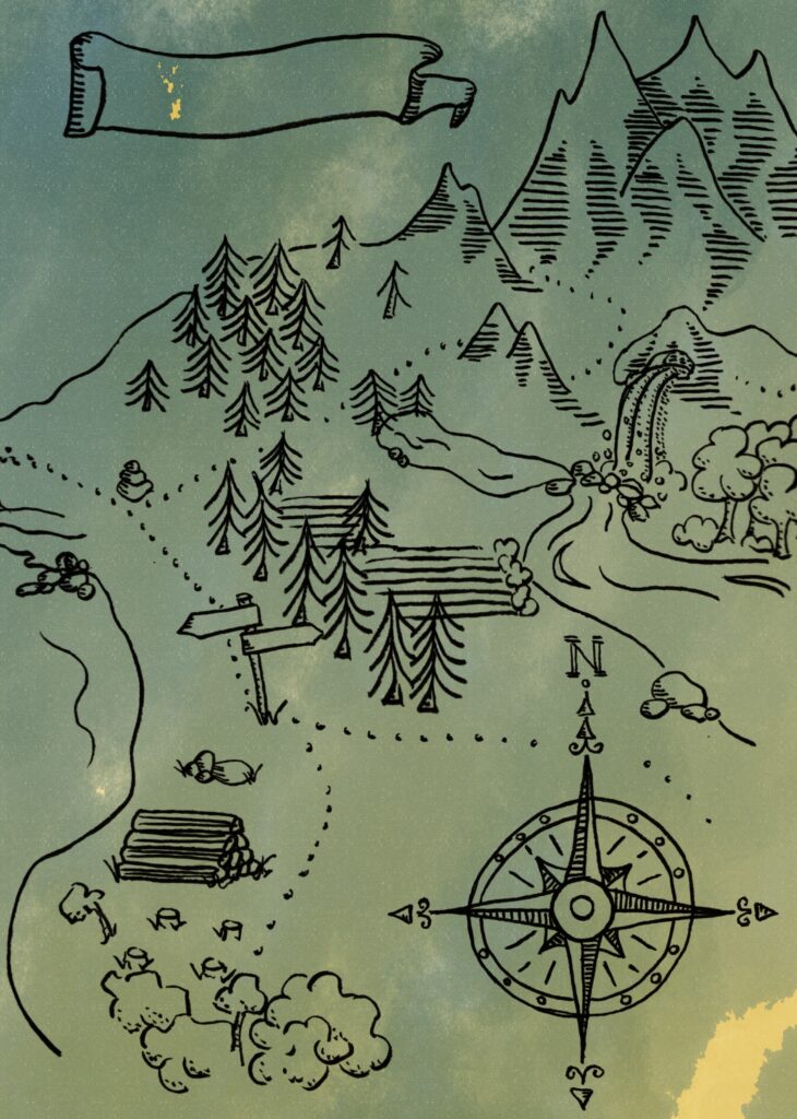
An illustrated map for a fantasy story with the ever so important compass rose in the corner.
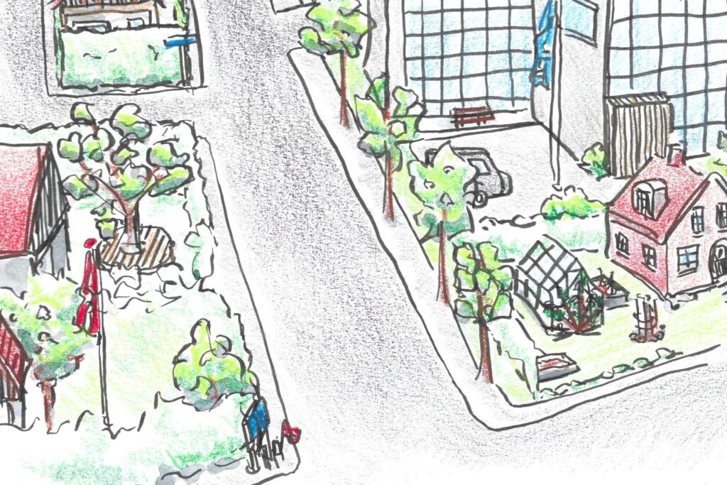
A map can also be used to point people towards the right locations by picturing the surroundings slightly from above.
This enables the vierw to recognize local landmarks for easier fiding their way.